
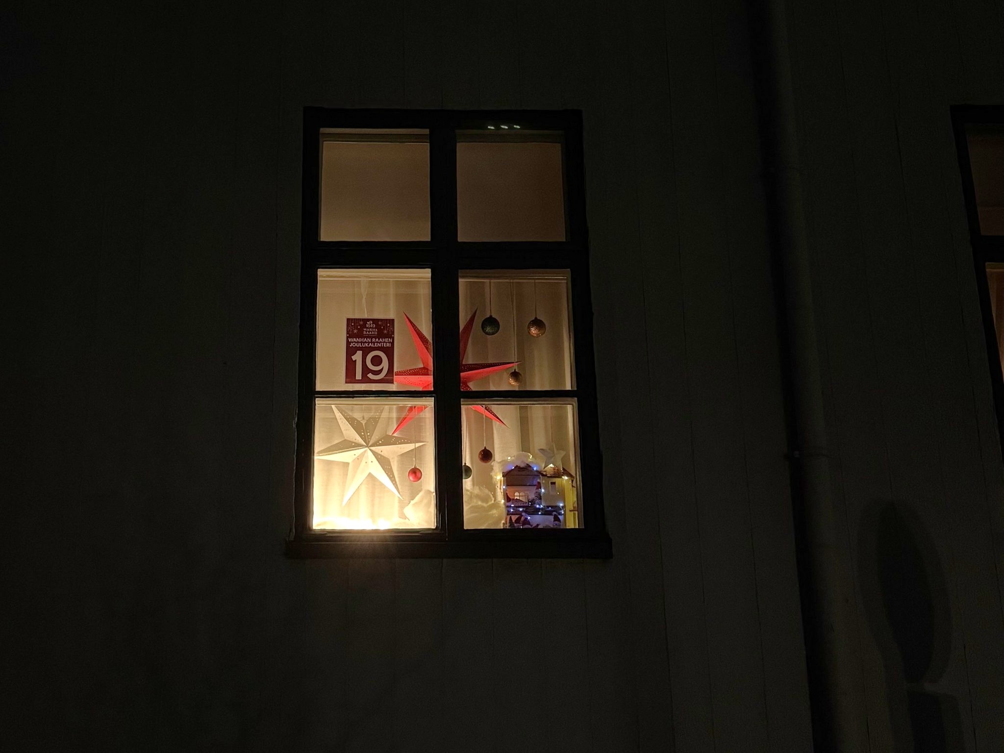
Brahenkatu street 2, Heiku's House, banquet hall, Myhrberg Park side
Today's calendar window opens at Heiku's House, a banquet hall with windows overlooking Raahe's first market square, now Myhrberg Park.
The city of Raahe was founded in 1649. The area around the then port of Saloinen was planned as the location for the city. When it was discovered that the location was too low, only 2-3 feet above sea level, another location had to be found. Since the new location also had a good harbor, it was decided to build the city where it is now. The city was founded as the outer harbor of the Pietari Brahe barony. The town plan was drawn up by land surveyor Claes Claesson.
Raahen's first market square was located in the best spot in town, opposite the harbor. The market square was created by leaving one corner of the block unbuilt. The market square was the center of the town, and the town's most important buildings, such as the town hall and the mayor's house, were located around it.
The church hall was moved from the port of Saloinen to the edge of the market square. When the church in Raahe was completed, the church hall was used as a customs and storage room.
In the 17th century, Raahe was involved in both land and sea trade. Tar was mainly exported by sea, and salt was brought back as return cargo. Most of the townspeople made their living by farming and raising livestock. There were 15 craftsmen.
The Great Northern War
The Great Northern War was fought between Sweden and a large coalition of enemies from 1700 to 1721. The Great Northern War was the Russian occupation of Finland during the Great Northern War from 1713 to 1721.
During the Great Northern War, the people of Raahe fled from the Russian destruction for years to the wilderness, Sweden, and wherever else they could. When those who had survived the exodus returned to the city after the peace, the city was deserted and almost completely destroyed. The city had to be rebuilt from scratch.
The map was drawn up by Johan Cajanus in 1750. Old corner posts were sought out for the map, and Claesson's plan was used as a basis. Wealthy burghers, merchants, and shipowners settled in the central parts of the city and on Rantakatu. Craftsmen, sailors, and the working class in general settled on the south side of Saaristokatu street.
The market square became a park
After the fire of 1810, a new town plan was drawn up and the market square was moved to the center of the town. The large market square, now known as Pekkatori, became a versatile commercial square. The wealthiest merchants of the time built their houses and shops next to the market square.
The site of the town hall, which was destroyed in the fire of 1810, was given to shipowner Fredrik Sovelius. The old market square gained a magnificent town house on its eastern edge. The building is now owned by the city of Raahe. It is called Heiku's House after Henrik Sovelius.
Market trading continued on the shore near the warehouse and the surrounding granaries. The city's first market square was left out of the trading.
Gradually, the market square became a planted square. A statue of August Maksimilian Myhrberg was erected in the square in 1931, and with it, the name of the square was changed to Myhrberg Park.
The Sovelius House on the northern edge of Myhrberg Park is the only two-story bourgeois house from the 18th century in the entire city. The house survived the city fire and is probably the oldest residential building in Raahe. In addition to its original exterior, the Sovelius House has a lot to offer inside: beautiful tiled stoves, wallpaper made according to old designs, and old furnishings.
Sources: Notes from guided tours from 1987 to 2017 and Hilkka Aaltonen: article in Raahen Joulu magazine in 1995
More information
Back to the front page of the Old Town Raahe Advent Calendar